Last month I spent the day with Ken Mars, Baltimore baseball historian, filmmaker, and now author. Earlier this year saw the publication of Ken’s first book, Baltimore Baseball: First Pitch to First Pennant. Ken’s wonderful new book takes the reader through the early days of baseball in Baltimore, up to the rise of the National League Orioles, one of the greatest teams of all time.
Ken and I share an affinity for Baltimore baseball history. Having read the book, I knew Ken was the person to ask for a lost ballpark tour of Baltimore’s earliest baseball sites.
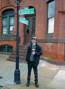
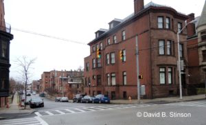
Ken Mars at the Intersection of Madison Avenue and Lauren Street in Baltimore, Maryland, the Former Site of Madison Avenue Grounds
We settled on the former site of Flat Rock Diamond, the first baseball diamond in the State of Maryland, and Madison Avenue Grounds, the first enclosed baseball diamond with a grandstand and the first to charge admission to games.
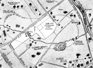
Flat Rock Diamond, home of the Excelsior Base Ball Club, was in existence from 1858 to 1859, and was located in what is now Druid Hill Park in Northwest Baltimore. Although there is no known photograph of Flat Rock Diamond, the lithograph below from 1842 depicts the approximate location of what was to become Flat Rock Diamond.
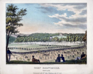
Camp Baltimore Maryland, Lithograph by William M. Huddy and and Peter S. Duval, 1842 (courtesy of Ken Mars)
Construction of Druid Hill Park, one of the oldest urban parks in the country, began in 1858 and the park opened in 1860. The opening of Druid Hill Park was the death knell of Flat Rock Diamond, which soon became submerged by a new reservoir for the City of Baltimore and is now a portion of Druid Lake.
According to Ken’s diagram, the actual ball field site was located in the center of Druid Lake.
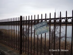
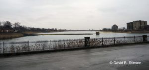
Jones Falls Parkway (I-83) runs along the Eastern most part of Druid Lake, while West 28th Street and Druid Hill Lake Park Drive parallel the southern portion of the lake, as well as the former site of Flat Rock Diamond.
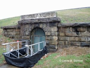
A storm drain in the middle of the lake marks the approximate location of Flat Rock Diamond’s infield.
Home plate was located to the left of the storm drain, which , in the photo below, is near the banks of the lake.
The lake includes reservoir tanks buried beneath the lake, and an earthen damn that surrounds the lake.
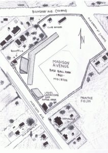
Like Flat Rock Diamond, there is no known photograph of Madison Avenue Grounds, the site of the first intercity game played in Baltimore (the Baltimore Excelsior Base Ball Club vs. the Brooklyn Excelsiors, in September 1860), and the home park of both the Pastimes and the Marylands. Although no photo exits, there is a contemporaneous drawing of the ball park from the 1869 Saschse Bird’s Eye View of Baltimore.
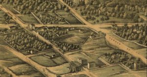
Portion of the 1869 Sachse “Bird’s Eye View of Baltimore” depicting Madison Avenue Grounds (courtesy of Ken Mars)
Madison Avenue Grounds was constructed in 1860 and lasted into the 1870s. It was located East along Madison Avenue, just one mile south of Druid Lake. Indeed, Madison Avenue once ran north into Druid Hill Park and terminated at the former site of Flat Rock Diamond. That portion of Madison Avenue is now called Swann Drive.
The Southernmost point of Madison Avenue Grounds was located at the intersection of Madison Avenue and Laurens Street.
The ballpark ran north and south along the East side of Madison Avenue.
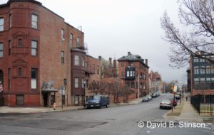
Tiffany Alley runs through the former infield of Madison Avenue Grounds.
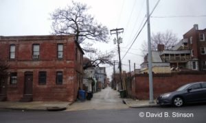
Tiffany Alley at Lauren Street, looking Northwest toward the Former Site of Madison Avenue Grounds Infield
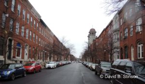
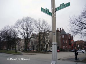
Roberts Street intersects the former site East and West, from the outfield (East) toward home plate (West).
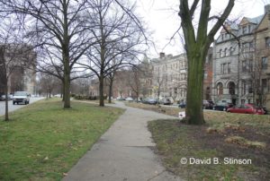
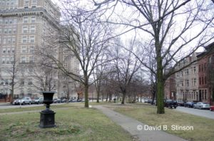
Eutaw Place marks the former site of left and right field.
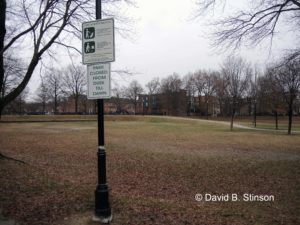
The deepest part of Madison Avenue Grounds’ former center field is now open space at Arnold Sumpter Park.
Ken Mar’s new book peeked my interest in seeing first hand the former sites of the many historic baseball parks that existed before the Birds, and the advent of Oriole Parks I through IV. Ken’s knowledge of the history of those ballparks helped bring them back to life and I look forward to tracking down more of the former ballpark sites.
“Baltimore Baseball, First Pitch to First Pennant” is an in depth, essential read for any true Baltimore baseball fan. And fear not, this is not a dry read, for Ken Mars knows how to tell a good story well.
If you would like to purchase a copy directly from Ken, visit him at baltimorebaseballhistory.com.

